

GIS4AG
Google Earth Municipality Qtr Section Overlays MANITOBA ONLY
Google Earth Municipality Qtr Section Overlays MANITOBA ONLY
Couldn't load pickup availability
What is this product?
We've compiled custom Google Earth overlays in .kmz format that add a layer to Google Earth that shows you the quarter sections.
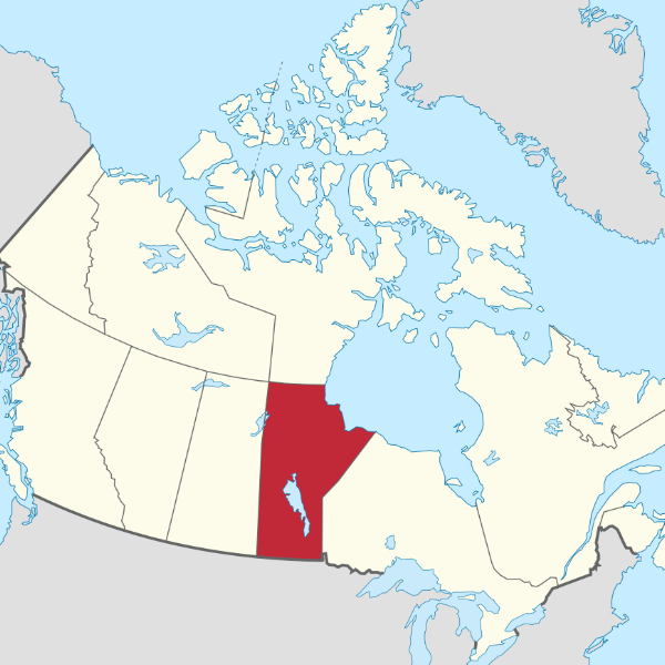
THIS PRODUCT INCLUDES ALL RM’s IN MANITOBA, PLUS MANITOBA RIVER LOTS IN A ZIPPED FILE
Google Earth Pro is now available for free (it used to cost around $400/yr so get it now if you don't already have it!). The Pro version allows you to perform area measurements, export high resolution imagery, import ESRI shape files, and more.
Download Google Earth Pro Here
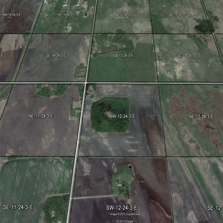
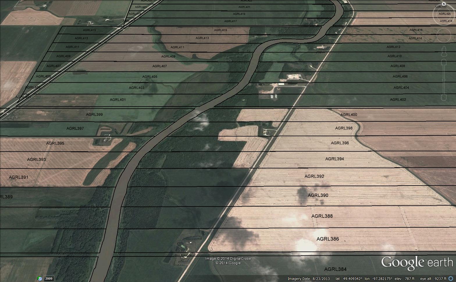
We’ve created these parcel overlays for all municipalities and counties in the Prairies that overlay quarter section boundaries and labels onto the underlying imagery. You can also search for specific quarters (use Ctrl+f and type the legal description into the box).
What will I receive?
Immediately after you complete the checkout process, your files will be available for download from either the checkout page or from the My Account area. You'll receive the files mentioned above, inside a zipped folder. Simply download the zipped folder, and extract the contents to your PC. There is a separate .kmz file for each RM or county - simply double click on each you'd like to add to Google Earth and they will be added as a layer to the map.
Samples of what you get for each RM or county are available here:
- Alberta Sample (Athabasca County)
- Saskatchewan Sample (Antler No. 61)
- Manitoba Sample (RM of Grey)
Please download and confirm this is what you require prior to purchasing as we can't offer refunds on downloadable products.
Who Is This Product For?
Anyone that needs to be able to identify quarter section locations on a map, and be able to perform tasks such as measuring areas, identifying land uses, printing high-resolution imagery, etc.
These have proven popular with realtors selling rural property, utilities providers, assessors and insurance assessors, and RMs and counties themselves.
How it works
Simply download and install Google Earth Pro on your PC (it may also work on Mac but we haven't tried). Either double click or drag and drop one of the .kmz files you downloaded into the Google Earth window, and a new layer will be added to the map view that shows the quarter section boundary lines and labels of every quarter section in that RM or county.
Compatibility
Google Earth runs on all recent Windows PCs (and possibly other operating systems). You will require Google Earth to use these overlays. Displaying the overlays can become quite memory intensive when multiple RMs are being displayed at once. Older PCs or those with slower graphics processing abilities may start to get slow in this case.
What It Doesn't Do
Please note that Google's imagery is not always 100% accurately located, and if the quarter section parcels seem to be out by a few feet here and there, this is probably due to distortions in the imagery.
Boundary lines / Google imagery / your GPS are also not as accurate as a legal survey so please don't use them to replace a legal survey to mark out your property boundaries!
The files may load into the Google Earth app on mobile devices, but may not display correctly. These overlays are quite large, and designed to be loaded/displayed on a PC rather than a mobile device.
Share