
GIS4AG
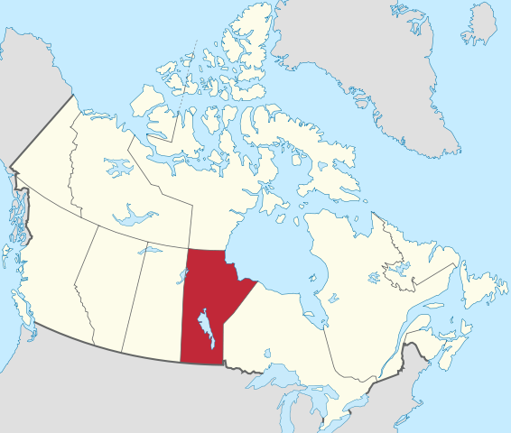
Manitoba Quarter Section & River Lots Shapefile Polygon
Manitoba Quarter Section & River Lots Shapefile Polygon
Couldn't load pickup availability
What is this product?
We have compiled a single ESRI shapefile that contains polygons for each surveyed quarter section AND river lot in Manitoba.
What will I receive?
You'll receive an ESRI shp file formatted exactly the same as the sample files (downloadable from links below) for the following Provinces:
- Manitoba
Immediately after you complete the checkout process, your files will be available for download from either the checkout page or from the My Account area.
Please download and confirm this is what you require prior to purchasing as we can't offer refunds on downloadable products.
Who Is This Product For?
Anyone that has a need for a shapefile containing all Manitoba quarter sections and river lots in a single file.
Download Sample Data
What It Doesn't Do
Please download and verify that the sample data are suitable for your needs as the paid data use the same format.
What Can I Do With The Data?
Here's the EULA.
Basically, you can use in your GIS, or in any applications where the data won't be available to the end user in their original form. And you can't re-sell the data.
Share